
SiteScanStudio provides end-to-end Scan-to-BIM services in Toronto and GTA, from 3D site capture through to Revit model creation.
We use terrestrial LiDAR scanning for detailed interiors and drone-based aerial scanning for exteriors and façades to produce accurate BIM models and as-built documentation for architects, engineers, and contractors.

A step-by-step overview of our precise, technical process for transforming site data into accurate BIM deliverables.
What’s Included With Every Project
• Field capture by certified operators using Matterport Pro3 and DJI Matrice 4E RTK.
• Basic registration and georeferencing to provided ground location control.
• Point cloud cleanup to remove noise and stray points.
• Modeling to LOD 200/300 includes walls, floors, ceilings, doors, windows, primary structural elements, and primary MEP routing.
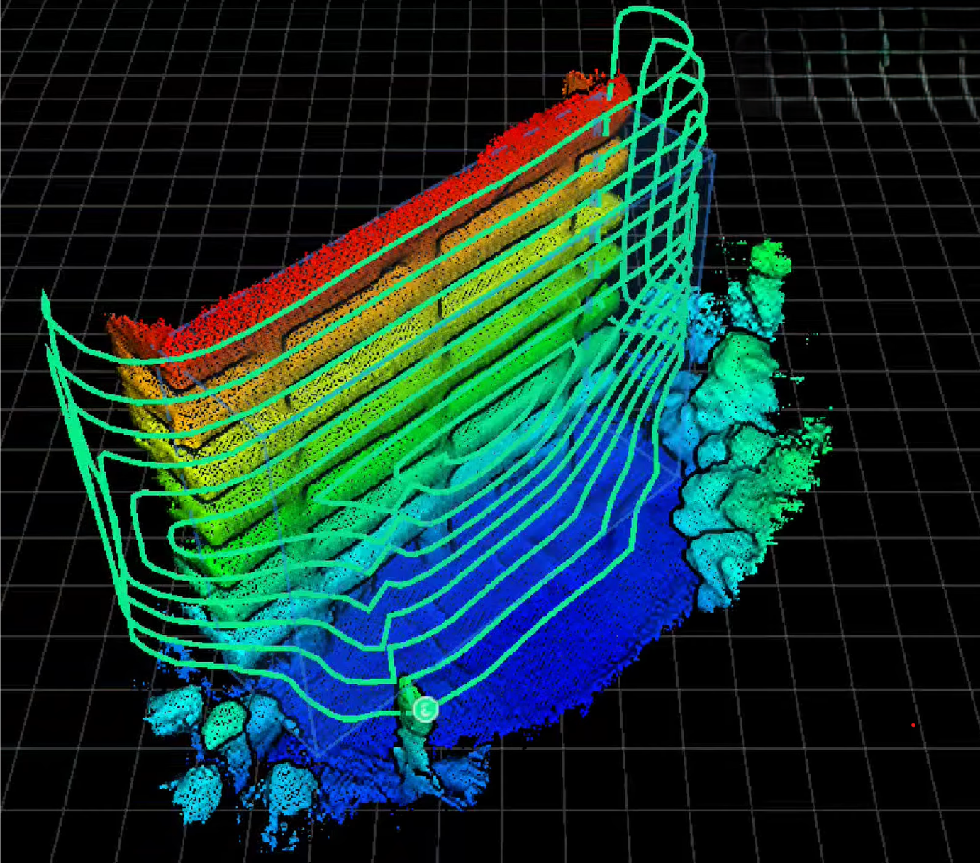
Scan capture workflows will include on site checks to confirm coverage and overlap between setups and flight lines for accurate control for exterior scans and to facilitate alignment with ground control and interior scans where required.
Terrestrial interior Lidar capture utilizes Matterport 3 for high resolution 3D scanning. The Matterport Pro3 LiDAR camera is specified at approximately ±20 mm (±0.8 in) accuracy at 10 m (33 ft) for raw depth data in suitable conditions. It is well suited to existing-condition documentation and LOD 200-300 Scan-to-BIM work.
Aerial exterior capture is done using DJI Matrice 4E with RTK for positioning accuracy of 1 cm + 1 ppm horizontally and 1.5 cm + 1 ppm vertically.
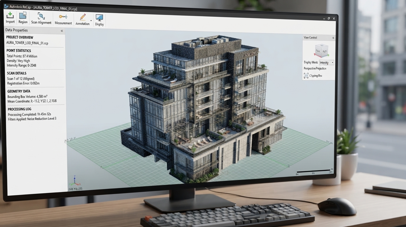
Point cloud processing in Autodesk ReCap.
Raw scan and imagery data will be imported into Autodesk ReCap for registration, optimization, and QA/QC.
Point clouds will be reviewed and refined to remove noise and stray points, and to ensure consistent alignment with the established control network.
Delivered point cloud in .rcp/.rcs format included with every project.
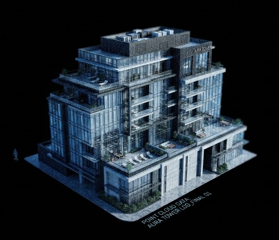
Our highly experienced BIM Specialist and BIM Coordinators provide As Built BIM Models — fully modeled Revit files reflecting existing conditions including walls, floors, ceilings, columns, doors, windows, and primary MEP systems.
Template flexibility — models can be developed in the client’s Revit template or our SiteScanStudio template depending on project requirements.
LOD 200/300 scope includes accurate geometry and element placement suitable for coordination and renovation design.
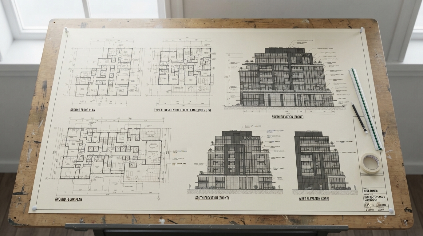
We deliver 3D BIM Revit models with Floor plans, Sections, and Elevations for documentation with thorough review and revision cycles. . Exports from the BIM model can be provided in .dwg format.
These can be utilized for works leading to permit submissions, lease drawings, and design coordination.
Plans & Pricing
Flexible pricing for Scanning services. Scanning prices are minimums. Final pricing accounts for site access, building complexity, travel, number of floors, required coverage, and project duration. Select the plan that fits your project scope.
Interior LiDAR Scanning
Interior existing-conditions capture, basic registration, and registered point-cloud delivery.
$1000
Starting rate
Exterior Aerial Scanning
Exterior RTK-enabled existing-conditions capture of building envelopes, façades, roof geometry, and applicable site features.
$1600
Starting rate
Complete Building Scan
Combined interior LiDAR and exterior aerial scanning, registered and coordinated into a complete existing-conditions point cloud.
$2600
Starting rate
Point cloud cleaning and registration
.rcs and .rcp files
Project review and QA process
Plans & Pricing
Flexible tiered pricing for Modeling services. All modelling projects have a $1,600 minimum fee. Projects exceeding 2,000 m² are quoted individually.
LOD 200 includes a coordinated architectural Revit model of primary visible building elements, such as walls, floors, ceilings, doors, windows, and stairs. Detailed MEP, manufacturer-specific families, concealed conditions, and specialized elements are excluded unless specifically identified in the scope.
LOD 300 modelling is quoted based on project complexity, required disciplines, element count, and level of detail. Additional services—including detailed MEP modelling, above-ceiling capture, floor plans, elevations, enhanced point-cloud cleanup, and survey-control requirements—may be added as project-specific scope items.
Unless specifically included, modelling does not cover concealed conditions, inaccessible areas, manufacturer-specific families, engineering design, code compliance, destructive investigation, or highly detailed MEP systems. LOD 300 scope is confirmed and priced by required disciplines, element count, and project complexity.
Small
Modeling of structures up to 500 m²
LOD 200
$6.00/m²
LOD 300
$9.00/m²
Medium
Modeling of structures ranging from
501–2000 m²
LOD 200
$4.50/m²
LOD 300
$6.50/m²
Large
Modeling of structures over 2,000 m²
Existing-condition model based on accessible, visible site conditions
Primary architectural elements: walls, floors, ceilings, roofs, doors, windows, stairs, and major openings
Registered point cloud linked to the Revit model
Basic floor plans and elevations derived from the completed model, if included in the project scope
All applicable LOD 200 elements, modelled with greater geometric accuracy and coordination
More detailed architectural elements, such as structural components, millwork, façade features, and complex roof geometry where included in scope
Defined visible MEP systems and equipment, when requested
More detailed dimensions, element locations, and model information suitable for coordination and documentation
Key performance indicators from recent Scan-to-BIM projects. Metrics reflect technical precision and delivery speed.
BIM model accuracy
All models undergo precision QA for as-built reliability and compliance.
Turnaround time
Typical delivery from Scan to BIM model, supporting fast-paced project schedules.

Get detailed answers on our process, deliverables, and remote modeling support for as-built documentation.
.jpeg)